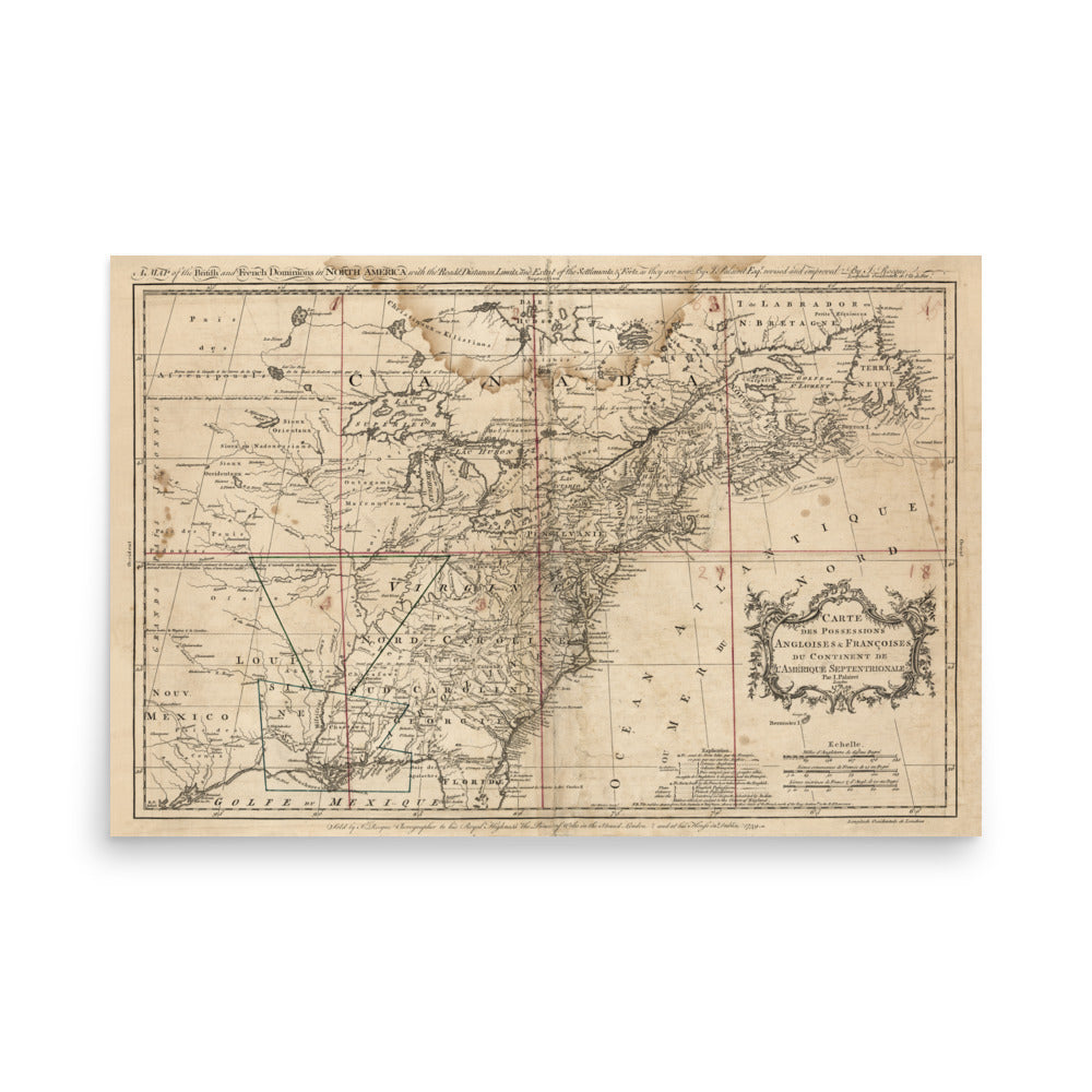
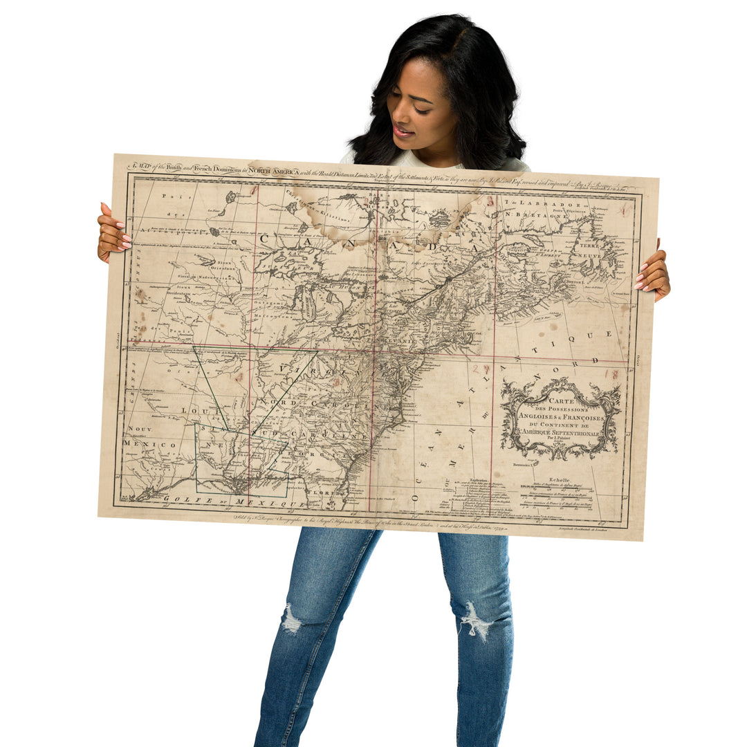
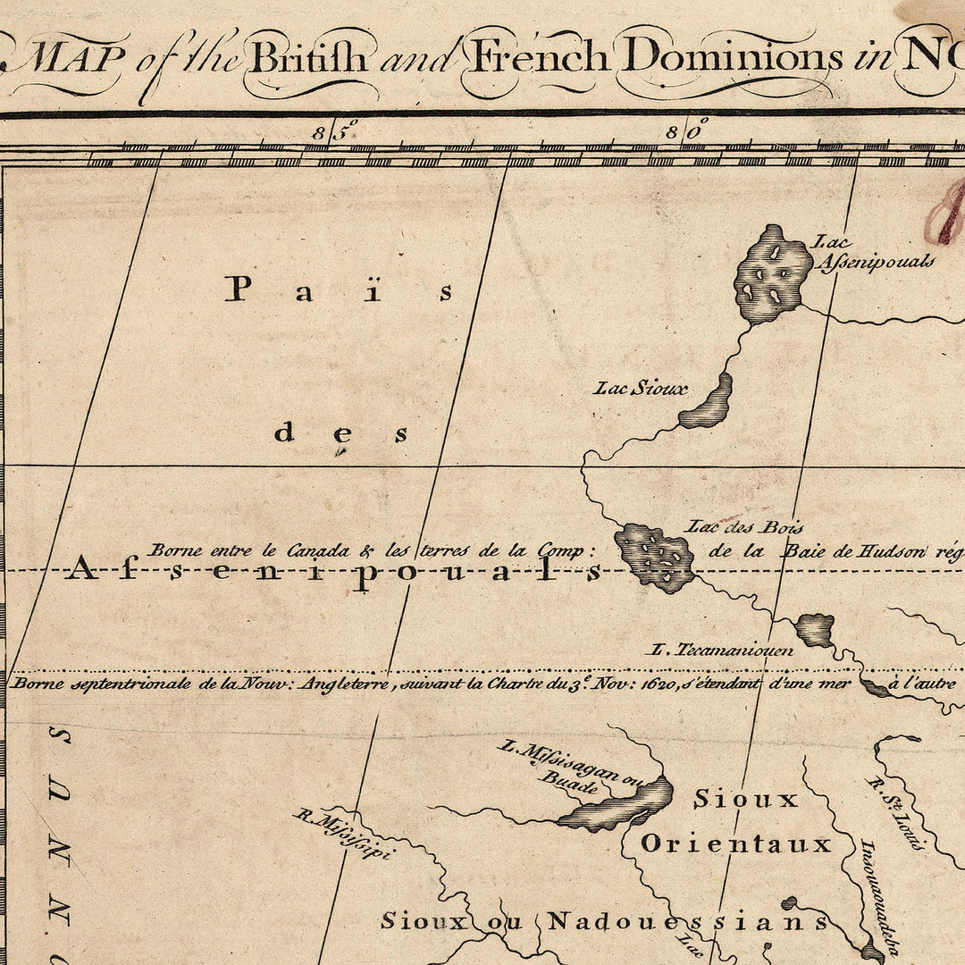
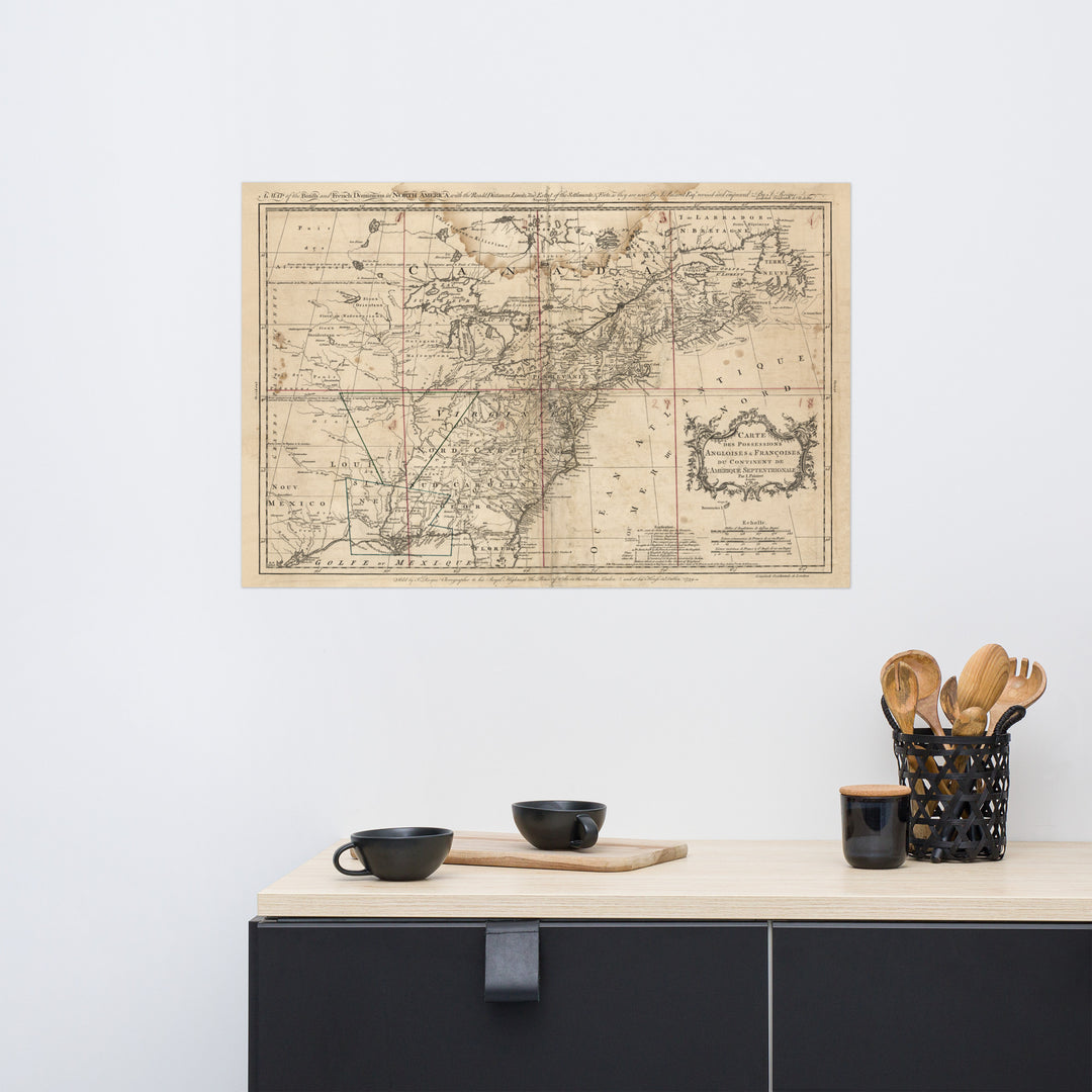
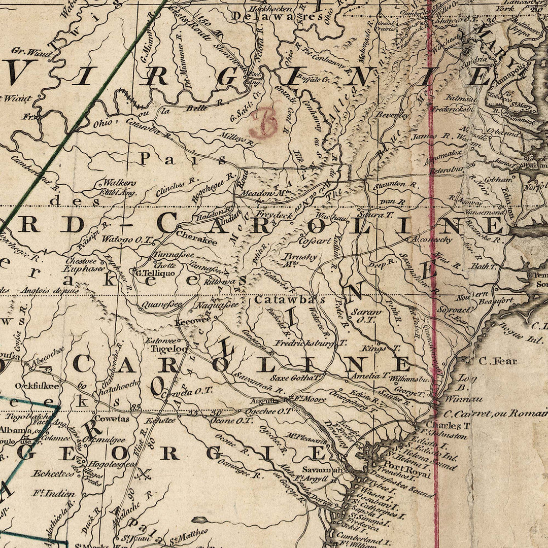
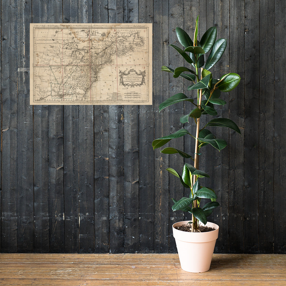
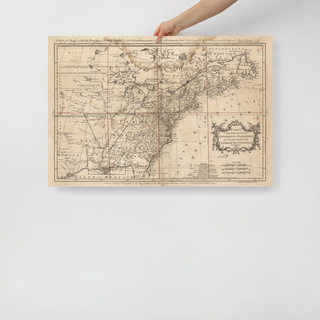
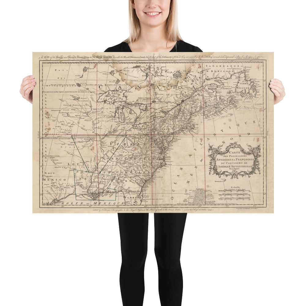
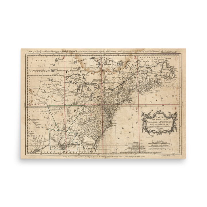
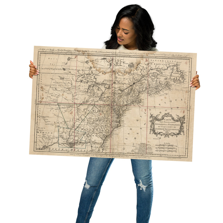
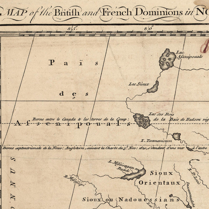
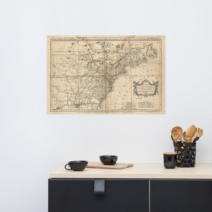
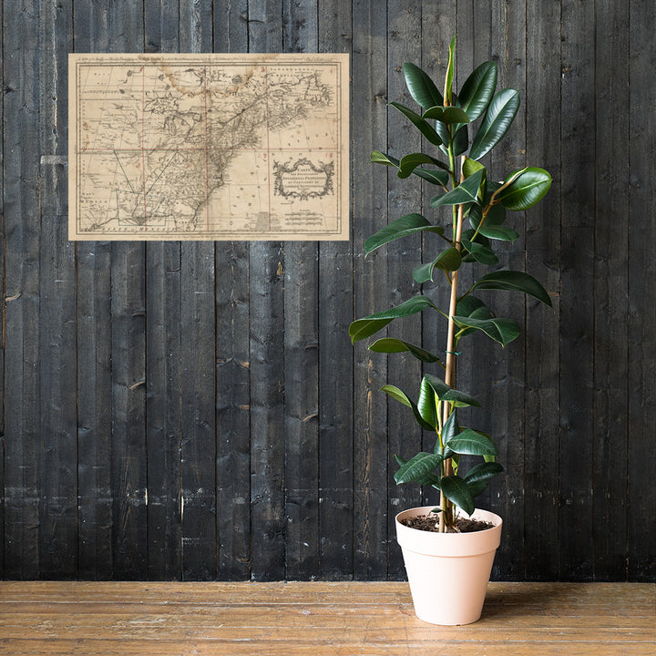
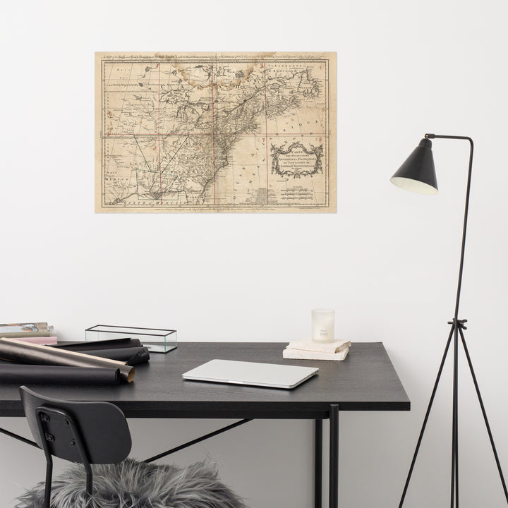
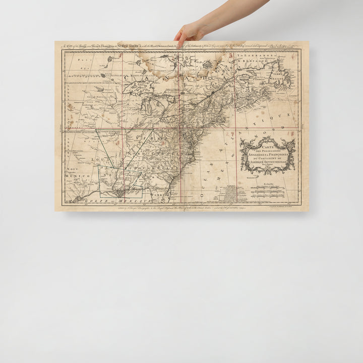
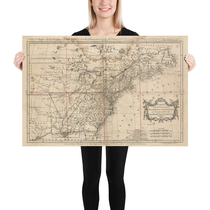
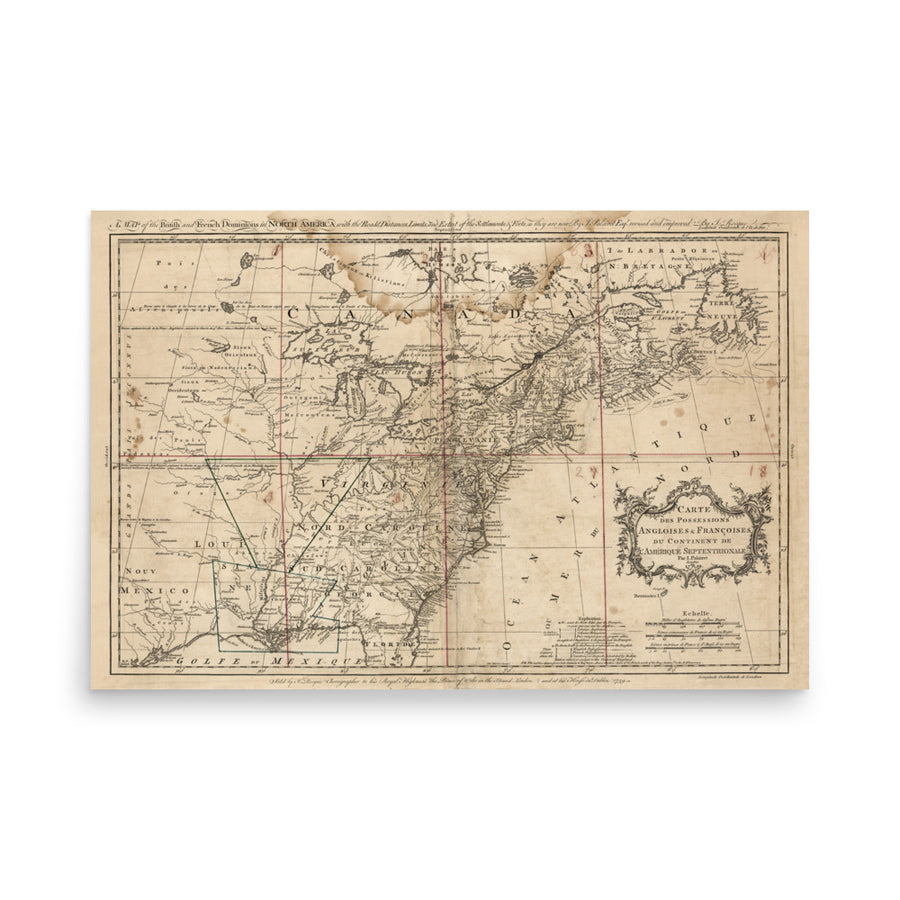
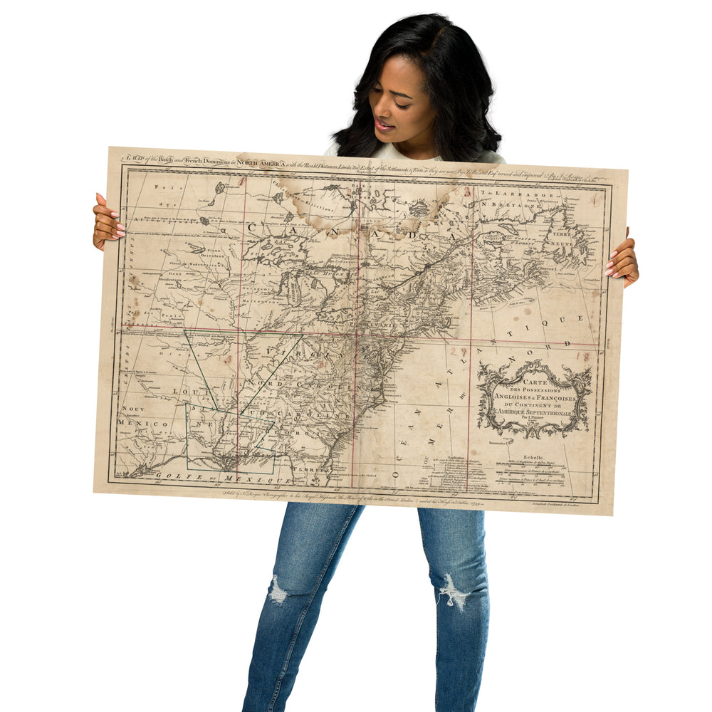
A map of the British and French dominions in North America with the roads, distances, limits, and extent of the settlements, & forts, as they are now. In 1759, the French and Indian War, part of the global Seven Years' War, was ongoing. The pivotal Battle of Quebec occurred, resulting in the British seizing control from the French. This event played a significant role in shaping the North American continent. Meanwhile, in France, King Louis XV faced financial challenges and growing discontent, foreshadowing the social and political turmoil that would culminate in the French Revolution decades later.
Delivery times vary from country to country. Posters ordered in the USA generally arrive in 6-8 business days. In the UK and most of Europe, delivery is about 4–5 business days. For Australia it's about 6–10 business days. Depending on your order destination and fulfillment location certain local taxes or vat may be required. [ More Delivery Info ]
![]()
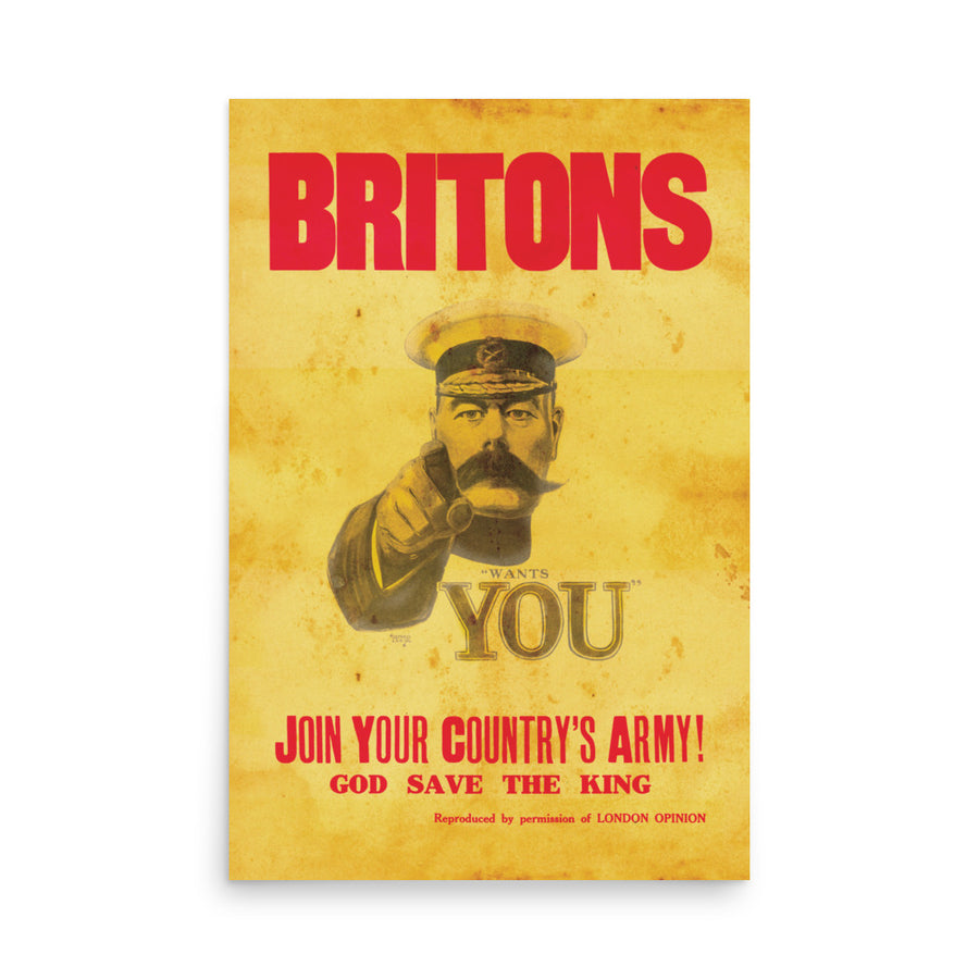
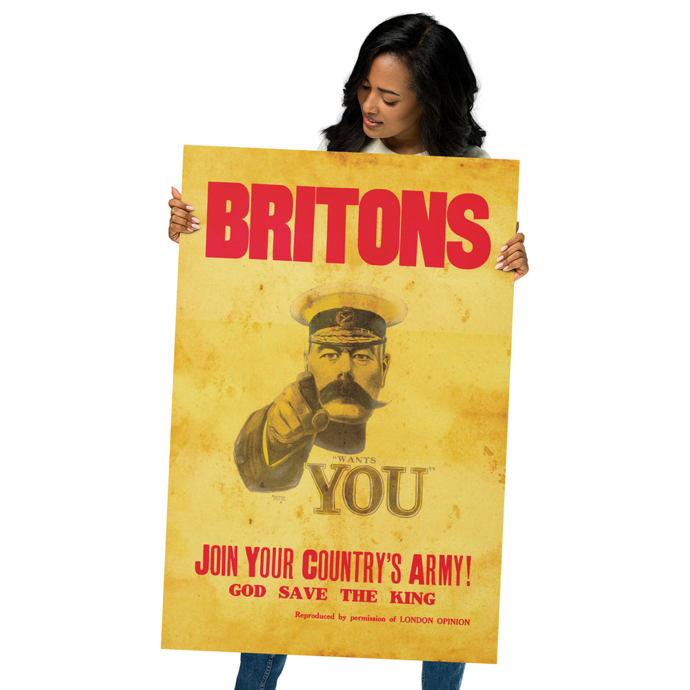
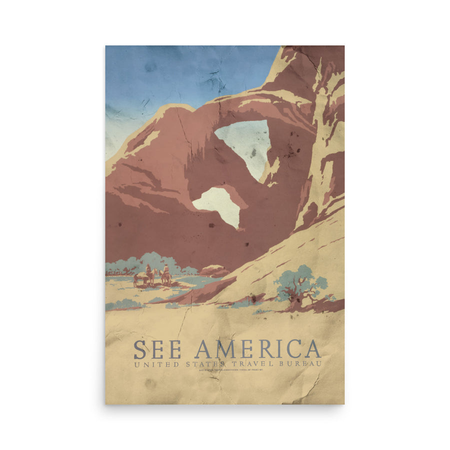
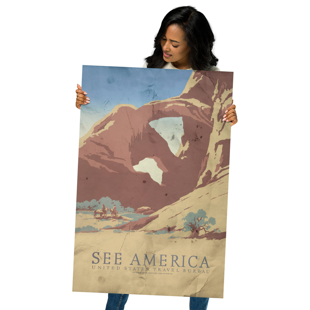
Measuring 36" by 24" each poster fits standard poster frames with ease and are perfect for custom framing. Each print comes hand rolled and ships in a rigid box for added protection. Your poster will be printed with premium long lasting inks on the finest photographic paper for rich saturation and fine detail. The paper we use is an ultra premium luster photo paper - slightly glossy (between a gloss and matte finish). The paper weight is 7.67 oz/y² (260 g/m²) - 0.25 mm thick.
• Measurements: 36" wide by 24" high
• 10 mil (0.25 mm) thick
• Paper weight: 260 g/m²
• Slightly glossy
• Fingerprint resistant
• Paper sourced from Japan


